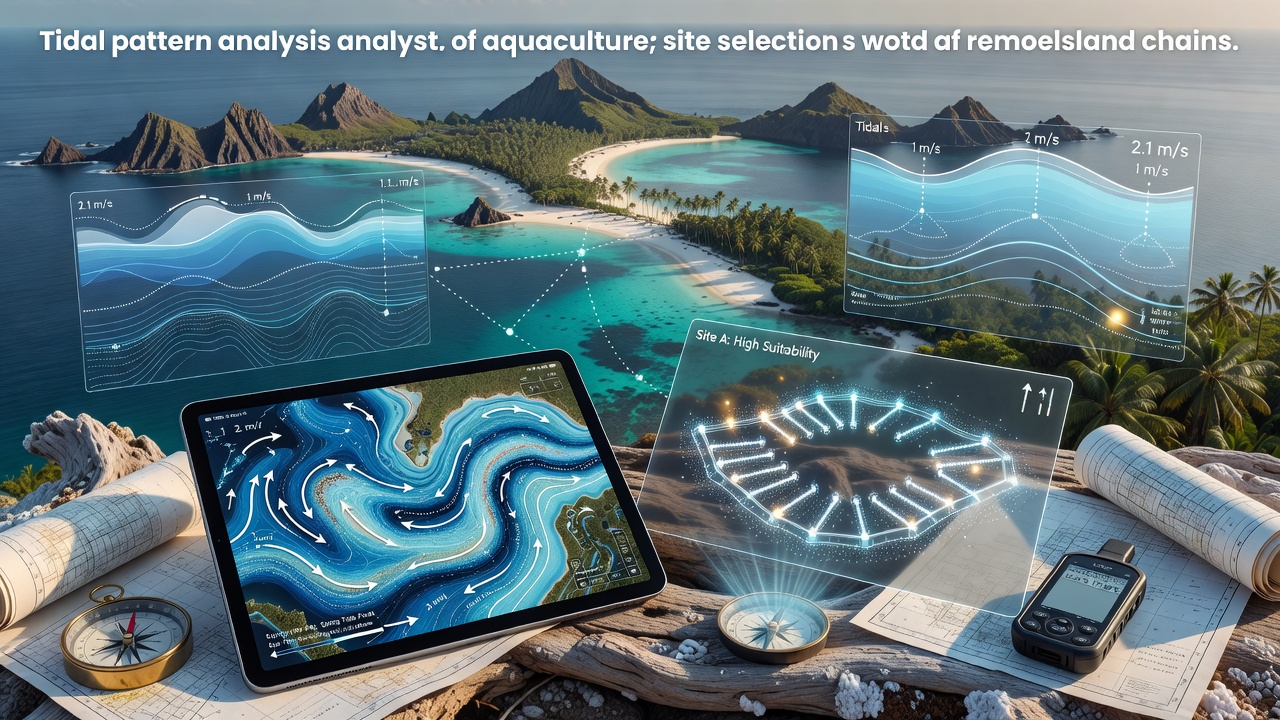
Jordan Franke · 29 September 2026
Tidal Pattern Insights Driving Smarter Aquaculture Site Selection Across Remote Island Chains
Remote island chains present unique challenges for aquaculture operations because tidal movements dictate everything from nutrient distribution to structural stress on pens and cages, while data from consistent monitoring programs shows that sites aligned with natural current cycles experience fewer equipment failures and higher survival rates for species like oysters, seaweed, and finfish.
Understanding Tidal Dynamics in Island Environments
Island archipelagos experience tidal ranges that vary sharply over short distances because underwater topography creates amplification zones and slack areas, and researchers at marine observation networks have documented how these micro-variations influence water exchange rates essential for maintaining dissolved oxygen levels above critical thresholds for cultured organisms. In the Pacific and Caribbean regions, for instance, spring-neap cycles produce predictable windows of stronger flushing that operators use to time stocking and harvesting activities, whereas neap periods with weaker flows require additional aeration equipment in some locations.
Studies conducted through satellite altimetry combined with in-situ sensors reveal that many remote sites previously considered marginal actually offer stable tidal streams capable of supporting integrated multi-trophic aquaculture when placement accounts for both peak velocities and residual circulation patterns.
Data Sources Informing Site Decisions
Government agencies and research institutions compile long-term tidal records that now feed directly into site-selection models, and data from the National Oceanic and Atmospheric Administration demonstrates how harmonic analysis of tide constituents predicts current speeds with sufficient accuracy for engineering calculations at prospective farm locations. Similar datasets maintained by the Australian Institute of Marine Science cover extensive stretches of the Great Barrier Reef and Torres Strait island groups where operators evaluate tidal excursion distances to ensure larvae retention or dispersal matches target species requirements.
September 2026 marks the scheduled release of updated high-resolution bathymetric and tidal current layers for several Pacific island nations through an international collaboration, giving planners access to refined simulations that incorporate recent storm-driven changes to coastal morphology.
Practical Applications Across Island Chains
Operators in the Maldives have applied tidal modeling to reposition sea cucumber and grouper pens away from zones of excessive turbulence that previously caused net deformation and fish escapes, while Caribbean projects in the Bahamas have used similar insights to select channels where consistent bidirectional flows deliver plankton without the extreme shear forces that damage fragile structures. These adjustments rely on combining regional tide tables with localized acoustic Doppler current profiler measurements taken over multiple lunar cycles.
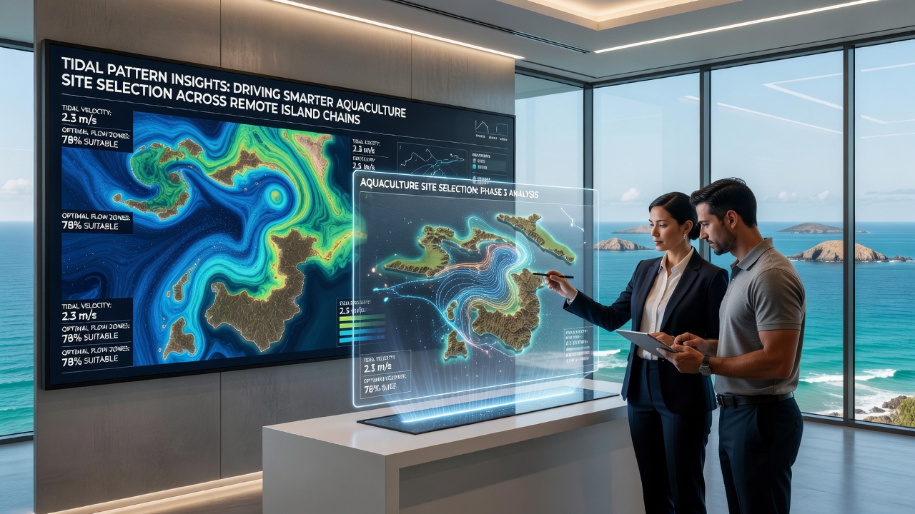
One study of Indonesian outer islands found that farms positioned at the interface between lagoon and open-ocean tidal regimes achieved 18 percent higher growth rates for seaweed because regular water exchange prevented nutrient depletion and reduced disease incidence, and comparable findings appear in reports covering the Solomon Islands and Vanuatu where communities integrate tidal calendars into daily management routines.
Integration With Broader Environmental Factors
Tidal pattern analysis does not operate in isolation from temperature, salinity, and wave climate considerations, yet it often serves as the primary filter when screening dozens of candidate sites across an archipelago because current speed directly affects feed conversion ratios and waste dispersal. Models now incorporate projected changes in tidal amplitude linked to sea-level rise, allowing planners to avoid locations where future inundation might compromise land-based support facilities.
Industry reports from the Food and Agriculture Organization highlight how island nations increasingly require tidal current thresholds as part of permitting processes, ensuring new developments align with natural flushing capacities that maintain water quality standards without supplemental treatment systems.
Conclusion
Comprehensive tidal datasets and refined modeling techniques continue to reshape how aquaculture expands across remote island chains, providing measurable improvements in operational resilience and biological performance when site selection prioritizes alignment with local hydrodynamic regimes. Continued investment in monitoring infrastructure and open data sharing supports more precise placements that match species needs with available tidal resources.