Noah Schmitt · 15 September 2026
Specialized Tide Data Management and Its Applications in Coastal Development
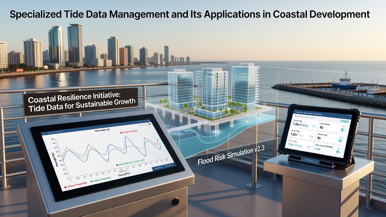
Specialized tide data management involves systematic collection, processing, and analysis of tidal information from multiple sources including satellite altimetry, fixed gauge networks, and autonomous buoy systems, which then supports precise planning for infrastructure projects along coastlines worldwide. Researchers at institutions focused on oceanography have documented how these integrated datasets help engineers account for tidal ranges, storm surges, and long-term sea level trends when designing ports, seawalls, and urban waterfront expansions. Data shows that coastal development teams rely on centralized platforms to merge historical records with live feeds, creating models that predict water levels hours or days ahead.
Core Components of Tide Data Systems
Modern tide data management begins with sensor arrays deployed at strategic coastal points where high-resolution measurements capture minute fluctuations in water height, temperature, and current velocity. Observers note that agencies combine these readings with satellite-derived gravity data to refine global tide models, while regional authorities add local bathymetry details for greater accuracy in specific bays or estuaries. Those who've studied this field know the process includes quality control steps such as cross-verification against multiple instruments, which reduces errors before information enters shared databases used by planners and developers.
Processing pipelines then apply harmonic analysis to separate regular tidal cycles from irregular influences like wind-driven waves or atmospheric pressure changes. Evidence from operational centers indicates that machine learning algorithms now assist in identifying anomalies faster than traditional methods, allowing quicker updates during extreme weather events. This workflow supports applications ranging from navigation safety to environmental impact assessments required for new coastal construction permits.
Applications in Infrastructure Planning
Coastal developers use specialized tide data to determine optimal foundation depths and elevation requirements for buildings, roads, and utilities that must withstand repeated flooding cycles. Figures from government monitoring programs reveal how accurate tidal predictions have guided the placement of breakwaters and drainage systems in expanding port facilities across multiple continents. In one documented case, project teams adjusted designs for a major waterfront redevelopment after reviewing extended datasets that showed higher peak tides during certain lunar alignments than previously estimated.
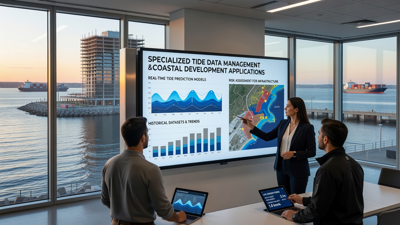
Environmental regulators also incorporate these managed datasets when evaluating proposals for beach nourishment or wetland restoration, since tidal patterns directly influence sediment transport and habitat stability. According to records maintained by the National Oceanic and Atmospheric Administration, integration of tide information with elevation models has helped identify vulnerable zones where development restrictions or elevated construction standards apply. National Oceanic and Atmospheric Administration tide records provide open access to verified measurements that many municipalities reference during permitting reviews.
Risk Assessment and Mitigation Strategies
Specialized systems enable detailed flood probability mapping by combining tidal harmonics with historical storm data, which informs insurance models and emergency response plans for coastal communities. Studies have shown that areas with comprehensive tide management frameworks experience fewer unexpected disruptions during king tide seasons because advance warnings allow temporary barriers and evacuation routes to be activated efficiently. Experts have observed that coupling these tools with climate projections supports long-term adaptation measures such as managed retreat zones or reinforced levee systems.
Applications extend to aquaculture and fisheries management, where tidal flow data helps site offshore installations and predict nutrient distribution that affects marine productivity. Those monitoring European coastal zones report similar uses through platforms operated by the European Environment Agency, which supplies harmonized datasets across member states for consistent planning standards. European Environment Agency coastal resources illustrate how cross-border data sharing improves accuracy for projects spanning multiple jurisdictions.
Emerging Trends and Data Integration
Advances in real-time telemetry now allow continuous streaming from remote sensors to cloud-based repositories, which developers access through standardized APIs for incorporation into geographic information systems. Observers note that integration with other environmental variables, such as salinity and wave spectra, creates more holistic models used in environmental impact statements. Data indicates growing adoption among private engineering firms that previously relied on limited public sources but now subscribe to enhanced commercial feeds offering higher temporal resolution.
By September 2026, several international programs plan to release updated tide atlases incorporating newly calibrated satellite observations from recent orbital missions. These releases are expected to refine predictions for regions experiencing rapid coastal urbanization, where even small improvements in forecast precision can affect project timelines and safety margins.
Conclusion
Specialized tide data management continues to underpin effective coastal development by supplying reliable, granular information that guides engineering decisions and regulatory compliance across diverse geographic settings. As sensor networks expand and analytical methods improve, the resulting datasets support safer infrastructure while helping communities anticipate changing marine conditions over coming decades. Ongoing collaboration between research organizations, government agencies, and industry practitioners ensures these systems evolve to meet emerging needs without compromising data integrity or accessibility.